

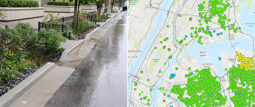
Climate change has led to heavier rain, and hurricanes—often resulting in hazardous flooding. You can help protect neighborhoods from stormwater flooding by identifying vulnerable areas. Steps can then be taken to protect these areas, for instance planting trees and installing rain gardens (green infrastructure).
We can use Geographic Information Systems (GIS) to map information we have gathered about the environment to help us come up with an action plans. Here is how you can help:
1. Click on the link: NYC Green Infrastructure Mapping.
2. Allow/Enable GPS location on your mobile device.
3. Collect data by following the question prompts.
4. Learn more at the event on May 10, where we will be doing a live demo and answering questions.
We will also hear from a former GIS student, now working at the Department of Environmental Protection (DEP).
All majors are welcome. No prior experience is needed.
For more information, contact Dr. Henry Bulley at hbulley@bmcc.cuny.edu.
Learn more about our GIS program at BMCC (bmcc.cuny.edu/gis).
Borough of Manhattan Community College
The City University of New York
199 Chambers Street
New York, NY 10007
Directions
(212) 220-8000
Directory
Information for:
Students
Faculty & Staff
Alumni

&location=Richard%20Harris%20Terrace%20(199%20Chambers%20St.,%20near%20cafeteria),%20199%20Chamber%20Street,%20New%20York,%2010007,%20United%20States&trp=false&ctz=America/New_York&sprop=website:https://www.bmcc.cuny.edu)